Spatial Analysis + Environmental Data
Raster/vector, suitability, accessibility, LST, land cover, and environmental risk mapping.
About
I combine GIS, Python, web mapping, data QA, and practical judgement to turn messy spatial data into clear maps, documented workflows, and decision-ready insights.
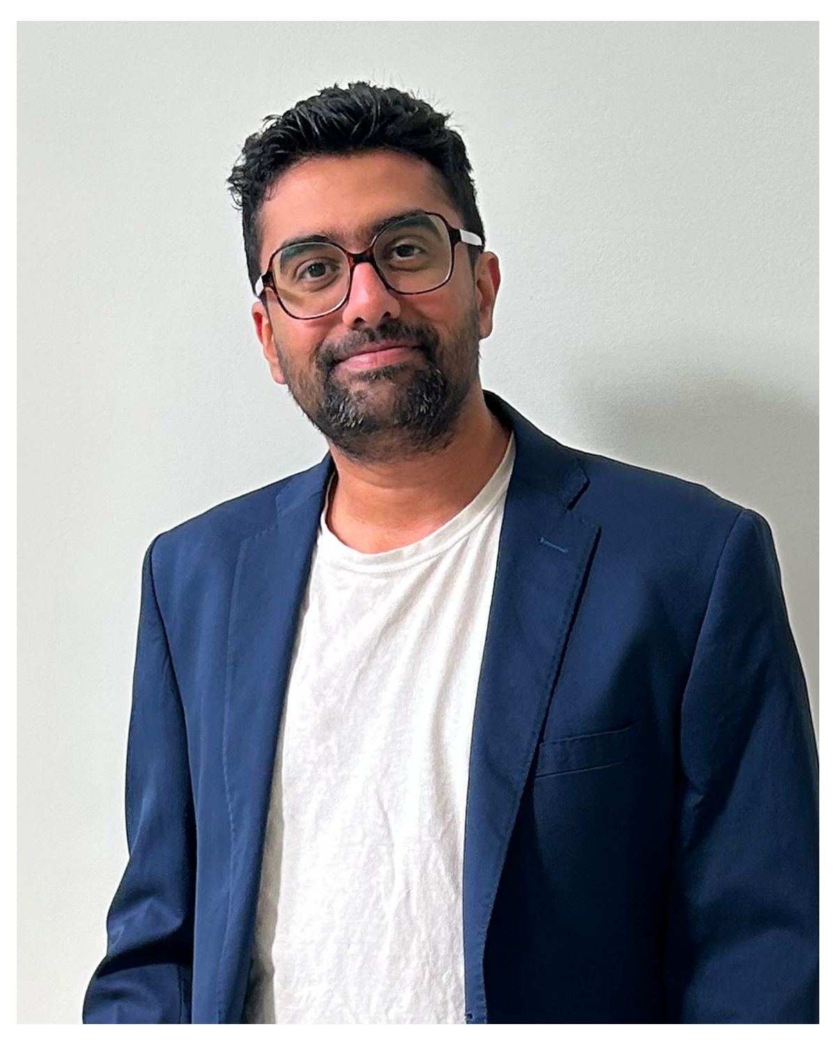
I am building a GIS practice around environmental planning, public-interest data, and community-focused spatial analysis. My work focuses on problems where location, access, risk, and equity matter: urban heat, cooling access, tree planting, food access, native plant planning, public health, and community services.
I use AI as a support tool for research, workflow planning, coding help, and documentation, while treating validation, source checking, assumptions, and spatial judgement as the core professional work. I am targeting junior GIS Analyst / GIS Technician roles where data QA, documentation, web mapping, and project coordination matter.
Clean spatial data, raster/vector workflows, accessibility maps, demographic overlays, and environmental risk maps.
HTML, CSS, JavaScript, MapLibre, and interactive web development for web mapping, plus Python, SQL, Java, Spring Boot, REST APIs, Microservices, and GitHub for data and developer workflows.
Clear assumptions, methods, limitations, QA steps, timelines, communication, and follow-through.
AI-supported research, code planning, documentation, and idea testing with source-data validation.
Capabilities
Raster/vector, suitability, accessibility, LST, land cover, and environmental risk mapping.
AI-assisted research, code planning, documentation, and QA support with human validation.
Frontend/web mapping: HTML, CSS, JavaScript, MapLibre, and interactive web development. Backend/data: Python, SQL, Java, Spring Boot, REST APIs, and Microservices. Developer workflow: GitHub.
Workflow planning, stakeholder communication, documentation, deadlines, QA, and follow-through.